
Municipal drainage upgrade from a rough site sketch
A civil engineering consultancy supporting a municipal stormwater upgrade.
- Input received
- A hand-drawn site sketch showing existing and proposed drainage runs, plus a CSV export of survey shot coordinates.
- Delivered
- A permit-ready grading and drainage sheet set with cut/fill volumes, cross-sections at 10 m intervals, and a digital terrain model.
- Timeline
- Scoped in 20 hours, delivered in 14 business days.
The consultancy's own drafters were fully booked on a larger tender. Pathworks cleared the backlog item without disrupting their internal schedule.
- Scoped in
- 20h
- Delivered in
- 14 days
- Cross-section interval
- 10 m
Absorbing a backlog item without disrupting a live tender
The consultancy's own drafters were fully booked on a larger tender, and the drainage upgrade risked slipping past its permit submission window while waiting for capacity to free up internally. The brief was specific: draft to the engineering intent the consultancy's own team had already worked out, not offer a second opinion on it.
From CSV survey shots to a checked terrain model
The digital terrain model was built directly from the CSV export of survey shot coordinates. Before any design work started, that surface was checked against the hand-drawn site sketch for busts — a single bad shot can distort contours across a wide area, and catching it at this stage is far cheaper than catching it after grades have been set on top of it.
Matching an existing engineering intent, not redesigning it
Proposed grades followed the drainage and accessibility constraints the consultancy's engineers had already resolved. Cut and fill volumes were calculated early enough in the process to flag a haul cost question back to the consultancy before it reached their own client's budget conversation, rather than surfacing it late as a surprise.
Matched to the review authority's own format
Cross-sections were cut at 10 m intervals to match the stationed, dimensioned format the reviewing authority's submission checklist required — sheet layout and drainage calculation conventions followed local practice, not a generic default.
What shipped
- A digital terrain model built and bust-checked from CSV survey data
- Proposed grading drawn to the consultancy's existing engineering intent
- Cut and fill volume calculations, flagged early for budget input
- Cross-sections at 10 m intervals, matched to the authority's submission format
- A full permit-ready grading and drainage sheet set
The consultancy kept its drafters fully committed to the larger tender throughout, with the backlog item handled entirely off their own bench.
More case studies
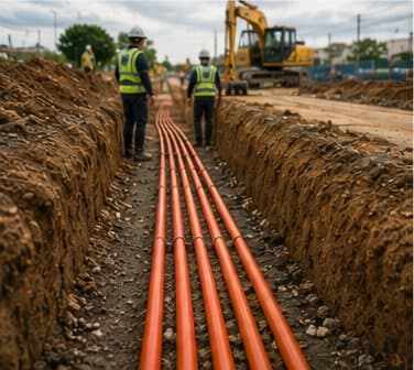

340-home FTTH rollout, from a marked-up street map
The client's planning team had the route in their heads and on a napkin-grade map. Pathworks turned it into a construction-ready package without a single site visit.
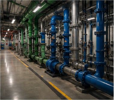

Warehouse electrical retrofit, permit-ready in under two weeks
Field access was limited to two short walk-throughs. The drafting was done entirely from photos and the contractor's own markups.


Commercial rooftop solar, permit package from two photos
The installer used the package as-is in their bid submission and won the contract two weeks later.